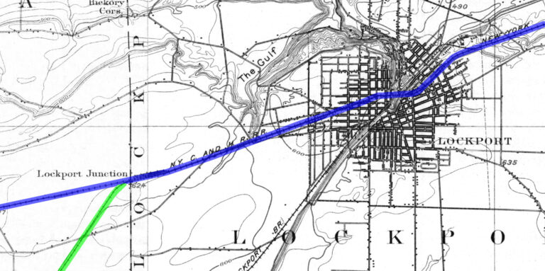
Lockport Junction was the connection point between the New York Central Railroad Lockport Branch and Falls Road Branch.
History
The Lockport and Niagara Falls Railroad was completed in 1838 between the two towns. It was sometimes called the “Strap Railroad” because it consisted of straps of iron on wooden rails. For the first year the line was operated by horse power which was quickly replaced by steam engines. The Lockport and Niagara Falls went through the village of Pekin, a little less than two miles to the north.
In 1851, the Lockport and Niagara Falls Railroad was sold to the Rochester, Lockport and Niagara Falls Railroad, which came under the control of the New York Central Railroad in 1853 where is was known as the Falls Branch or the Falls Road. The line was operated by the New York Central (1853 – 1968), the Penn Central Railroad (1968 – 1976), and Conrail (1976 – 1999). During the 1999 breakup of Conrail the line was assigned to CSX who operates the segment between Niagara Falls and Lockport.
