Niagara Falls was both a tourist attraction and a gateway for people and products flowing from New York and the northeast US to Canada and the western United States. The two main railroads serving Niagara Falls were the New York Central Railroad and the Erie Railroad, though other railroads including the Lehigh Valley Railroad, Wabash Railroad, and West Shore Railroad ran trains to/from Niagara Falls using trackage rights over the Erie or New York Central.
I have broken Niagara Falls into this page, which covers the city of Niagara Falls and the area closest to the falls themselves and Suspension Bridge, which covers the Suspension Bridge Village area of northern Niagara Falls around the railroad bridges connecting New York with Canada.

A few miles north of Niagara Falls the Suspension Bridge crossed the Niagara River connecting the U.S. with Canada. Both the Erie and the New York Central had passenger stations in Suspension Bridge, in addition to Niagara Falls.
Erie Railroad
The Erie Railroad’s Niagara Falls Branch entered Niagara Falls from the south from Tonawanda and Buffalo. This line was originally built in 1868 by the Suspension Bridge and Erie Junction Railroad Company to connect Suspension Bridge with Buffalo, a distance of 24 miles. It was leased by the New York, Lake Erie and Western Railroad in January 1870 and was merged into the Erie Railroad in 1896.
Second and Niagara Street Station
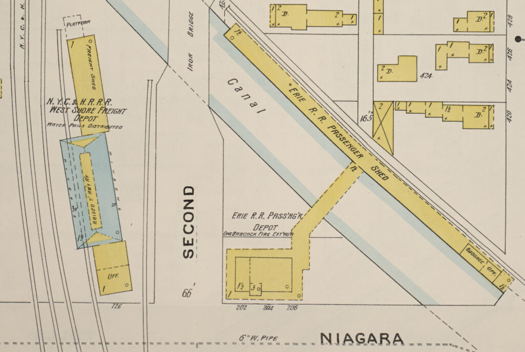
The Erie started limited passenger service to Niagara Falls in 1871 but was it wasn’t until 1888 that it built its first passenger and freight depot at Niagara Street and Second Street. As shown on the 1897 map below, the Erie station was unique in that the station was on one side of the Hydraulic Canal (also called the Power Canal) while the tracks and platform were on the other.
The Erie’s first passenger station was located at the end of a short stub track. It was connected to the main track that ran north through the city between Eighth and Ninth Streets.
Fourth and Niagara Street Station
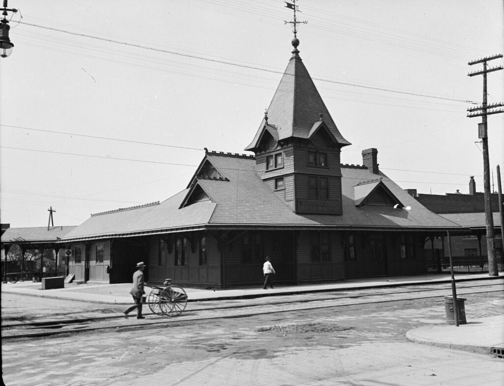
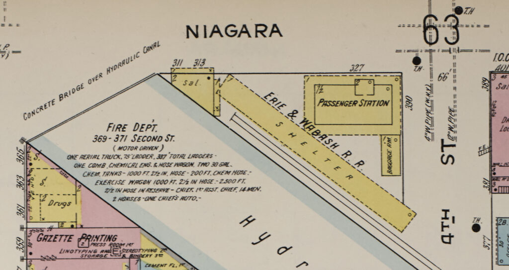
In 1900 the Erie announced that it would move to a new and much larger station at Fourth and Niagara Streets. A December 17, 1900 story in the Niagara Falls Gazette newspaper was headlined “Erie Buys Triangle For New Depot. Important Transfer Recorded at Assessor’s Office — Power Canal to be widened and Station must move”
This station was on the north side of the Hydraulic Canal next to the tracks, eliminating the need to have a bridge over the canal. It also shortened the length of the spur track to the station and eliminated the need to cross over the busy Niagara Street.
Passenger service on the Erie declined and by 1930 had abandoned its Fourth Street station. I don’t know exactly when the Erie stopped passenger service to Niagara Falls. A 1915 Erie Railroad employee magazine indicated that passenger trains were still running to Niagara Falls but 1924 passenger timetables no longer show it as a stop.
Timetables

New York Central Railroad
The New York Central Railroad reached Niagara Falls from a number of different lines. The Hojack Line was the mostly northernly route and followed the Lake Ontario shoreline from Oswego to Niagara Falls. The Falls Road branch closely followed the Erie Canal between Rochester and Lockport and then continued east to Suspension Bridge and Niagara Falls. The Niagara Falls Branch came into the city from Buffalo and the south.

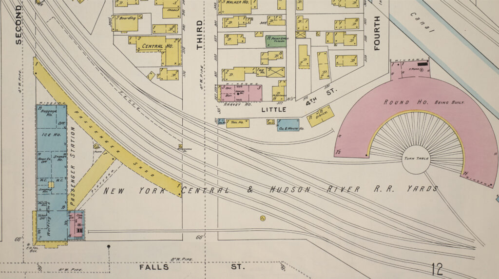
The New York Central had a major presence in the city of Niagara Falls and the nearby Suspension Bridge area. The NYC passenger station was at the corner of Second Street and Falls Street on the south/west side of the Hydraulic Canal.
Timetables


Lehigh Valley Railroad
The Lehigh Valley Railroad had trackage rights over the New York Central to reach Niagara Falls and Suspension Bridge and used the New York Central passenger station in both cities.
Timetables

Great Gorge Route
The Great Gorge Route was an electric interurban line that ran along the Niagara River between Niagara Falls, and Lewiston, NY. It was organized in 1895 as the Niagara Falls and Lewiston Railroad. It was reorganized and became the Niagara Gorge Railroad. The company was later merged into the International Railway Company (IRC) that owned and operated a number of electric city and interurban railroad in Buffalo and Niagara Falls. The company operated through the Niagara Gorge until a rock slide on September 17, 1935.
Digital Artifacts
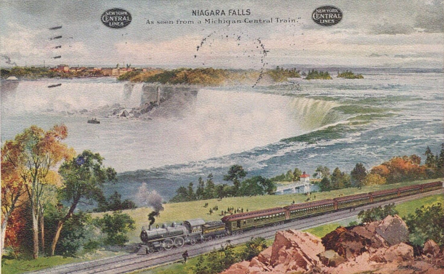
Cover: A 1908 postcard showing a Michigan Central Railroad train in front of Niagara Falls. eBay.com.